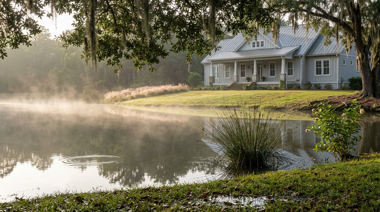
Walk the trail behind the tenth green some evening in August, close to sunset, and you will likely see a great blue heron standing motionless in six inches of water, waiting out a school of minnows. Keep walking and you may catch an egret doing the same thing two ponds over, or the wake of something larger sliding under the duckweed near the twelfth. None of this is staged. It is also not new. The water those birds are working was doing the same job three centuries before anyone laid out a fairway around it.
Willbrook Plantation's golf course was carved from the site of two Carolina rice plantations, and the community's own trail system still winds past what its neighborhood association describes as preserved ricefields and ponds, giving residents a direct look at that 18th-century water engineering. That framing matters more than it sounds like it should, because it changes what you are actually looking at when you walk the loop. The lakes and low, wet corners that show up throughout the course are not decorative additions a golf architect dropped in for visual interest. They are the impoundments and cuts that rice planters used to flood and drain their fields, left in place because filling them in would have meant fighting the same drainage the fields were built to manage.
Fifteen Holes, One Water System
Dan Maples designed the Willbrook course as part of the Waccamaw Golf Trail, and Golf Digest has rated it 4.5 stars in its Places to Play rankings since 2006. The detail that matters for a resident more than a visiting golfer is this: fifteen of the course's eighteen holes feature water, most of it framed at a distance so it shapes the hole without swallowing it. That is an unusually high ratio for a Grand Strand course, and it lines up with what the land actually is. A modern architect building on open ground does not typically choose to put water on eighty-three percent of the holes. A planter working three hundred years ago had no choice. The tidal marsh and the Waccamaw River needed somewhere to put excess water during a flood tide and somewhere to draw it back from during planting. Those impoundments became the ponds and lakes you now watch a golfer play around.
Fifteen of the course's eighteen holes feature water, most of it framing the hole from a distance rather than crowding it.
That is not a coincidence of good design. It is the outline of a working water system still doing its original job, four centuries into a very different use.
Why the Wildlife Concentrates Exactly Where the Trail Runs
The community's own materials describe a dedicated nature preserve within Willbrook that draws herons, egrets, and even alligators, and residents get year-round chances to see them on the walking and biking trails that thread through the neighborhood's natural areas and along the golf course. This is not a coincidence either. Wading birds and alligators do not choose habitat at random. They need shallow, slow-moving, food-rich water with enough structure at the edges to hide in and enough open surface to hunt across. That is precisely what a rice impoundment provides, because it was engineered for exactly that kind of controlled shallow flooding. The plantation-era hydrology that made the land valuable for growing rice turned out to be just as valuable, two hundred years later, for supporting a wading bird population. The trail did not create this. It runs along the edge of a system that was already doing the work.
If you walk the loop with that in mind, the pattern becomes easy to spot for yourself. A few things worth watching for, depending on where you are on the trail:
- Herons and egrets tend to work the shallow margins early morning or right before dusk, standing still rather than wading, which is the giveaway that they are fishing rather than just passing through.
- The wetter, marsh-edged holes toward the back nine hold water later into a dry stretch than the ponds closer to the clubhouse, a difference you can trace directly to which sections sat lowest in the original field system.
- Alligators favor the quieter, more enclosed ponds away from cart paths and tee boxes, which is worth remembering less for spotting them and more for giving them the distance they are due.
- The live oaks lining the trail are old enough to have shaded the original plantation roads, which is part of why the canopy reads as established rather than landscaped.
None of this requires a guide or an app. It requires knowing that the water on this course has a two-hundred-year head start on the game being played around it.
The Rest of the Loop
The trail system does not stop at the golf course. Willbrook residents also have private beach access through Litchfield by the Sea, which includes beachfront parking, cabanas, and restrooms, so the walk that starts at a rice-field pond can end at the ocean without a car in between. That range, marsh to fairway to beach, inside one gated footprint, is part of what makes the daily version of this place feel different from a straightforward golf community. You are not choosing between the water feature and the water. Both are a short walk apart.
What this actually changes for a resident is small but real. The next time you are out on the trail and someone visiting asks why there is so much water on this course, or why the birds seem to know exactly where to stand, you have an answer that is not just "it's pretty." The ponds are old infrastructure, still doing the job they were dug to do, and the wildlife found it the same way the rice did centuries ago: because the water behaves the same way every time.
The rest of the week fills in around that walk the way it always has. The Pawleys Island Farmers Market runs Wednesdays from 8 a.m. to 1 p.m. at Parkersville Park, an easy stop for produce and baked goods before the heat sets in. On the way back, Pawleys Island Tavern keeps two stages running with live music Thursday through Sunday, pouring New South Brewing Co. beer and Firefly Vodka alongside a Blue Plate lunch special, an Island Country Club sandwich, and a burger nobody names lightly. None of it requires leaving the immediate area. That is the same quality the rice planters were counting on when they laid out the water in the first place: everything you need is close, and the ground does most of the work for you.
If you are already walking this trail most weeks, you already know Willbrook Plantation better than most listings ever will. And if you are thinking about a home along this loop, or wondering what a property near the back nine or the preserve is actually worth given how the water and the wildlife shape it, that is a conversation grounded in exactly this kind of detail. Calee Garcia has spent more than a decade reading properties like this one across Pawleys Island and Georgetown County, and she is always glad to talk through what a specific home on this trail is really offering.
